The Bay Area doesn't run on one railway. It runs on many: BART under the bay and out to the East Bay suburbs, Muni Metro's lettered lines and the historic F streetcar across San Francisco, Caltrain down the Peninsula, VTA light rail around San José, SMART up through Marin and Sonoma, and the Capitol Corridor and ACE trains reaching toward Sacramento and the Central Valley. Each has its own map. Seeing them together is harder.
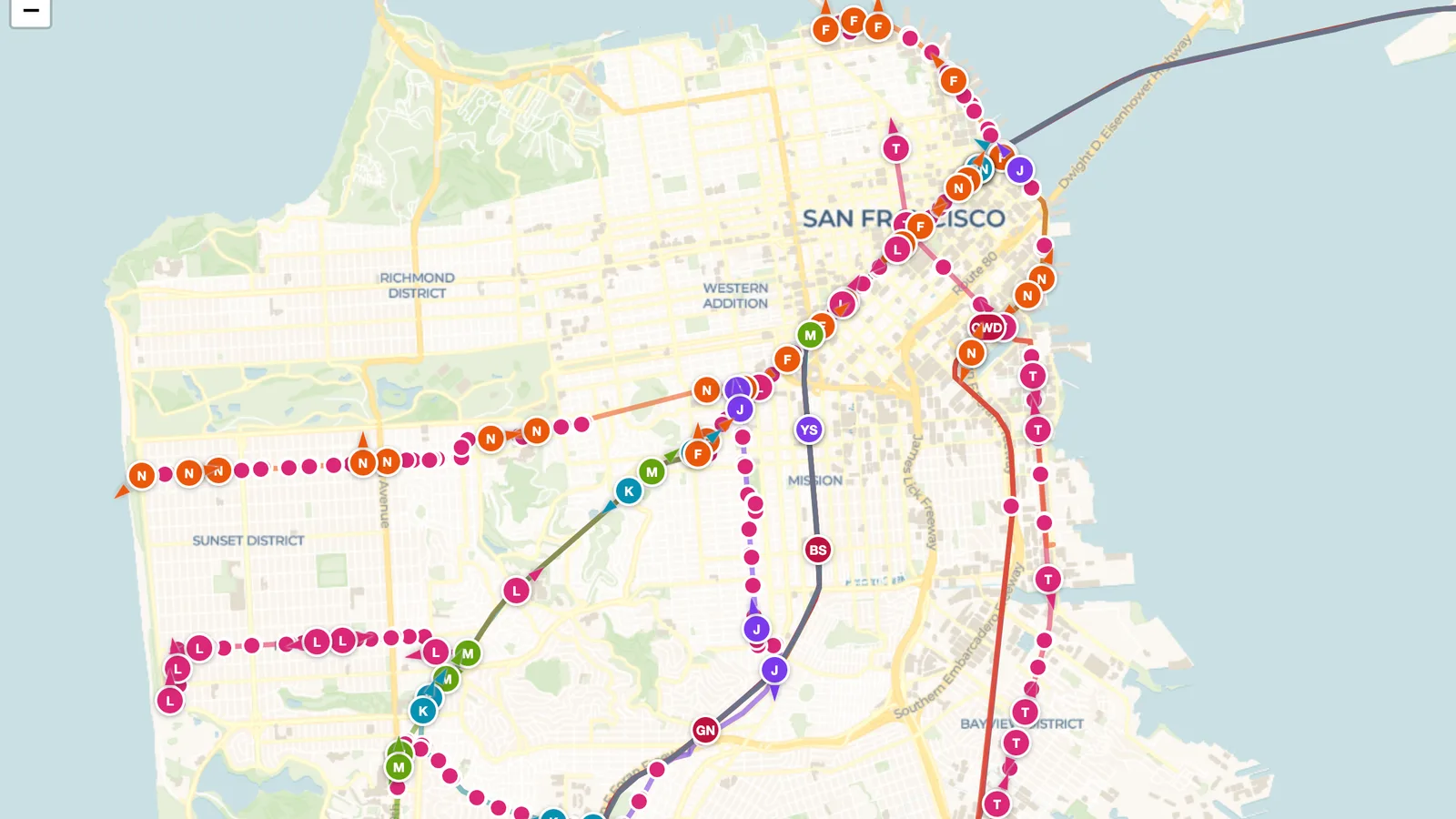
The SF Bay Lines map, shared in the ExploreMap community, puts all of them on a single page. A live map feed places train markers on the map, labeled by line: Muni's J, K, L, M, N and T trains and F streetcars along the Embarcadero and Market Street, BART trains by line color and direction, and Caltrain, VTA, SMART, Capitol Corridor and ACE trains further out. Zoom in to San Francisco to watch Muni trains share the Market Street subway and fan out toward the Sunset and Bayview, or zoom out to follow BART and Caltrain across the region.
Hover over a marker to see whether a train is at a station or on its way to the next one, and check the feed's last update time on the map. Many trains report GPS positions; others, including BART, are placed at or approaching a station based on transit data rather than GPS. What appears depends on the transit feed.
Looking for another city? The DC Metro Lines map shows Washington's six Metro lines the same way, and Watch Metro Trains Live on ExploreMap explains how live feeds work.
The link opens a read-only web page. Anyone can view the shared map without editing the trip. Keep the page open to watch the train markers update as new data arrives.