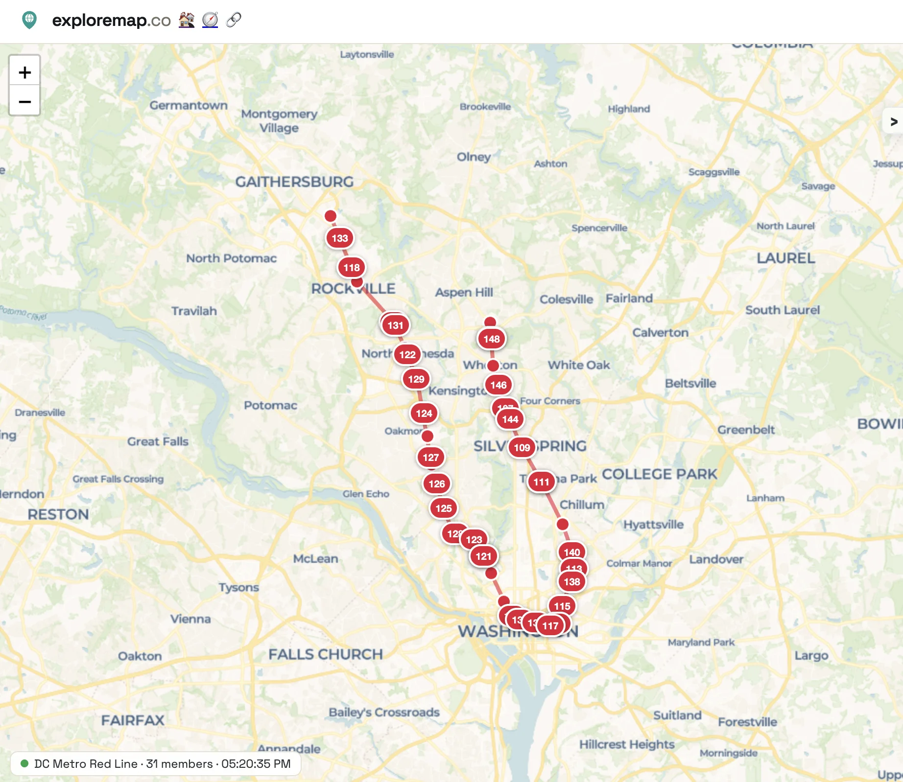
A transit map usually shows where the tracks go. ExploreMap can now show where the trains are, too. Live map feeds place train markers alongside a line's route and stations, so you can follow service as it moves across the map.
Start with the DC Metro Red Line , shared in the ExploreMap community. Its train status refreshes every 30 seconds. Open the map to see trains along the Red Line, hover over a marker for its destination and current or between-stations status, and check the feed's last update time on the map. Some positions are estimates based on transit data rather than GPS locations.
You can also explore the NYC Subway L Line in the community. Together, these examples show how a trip map can become a window onto a transit line in motion.
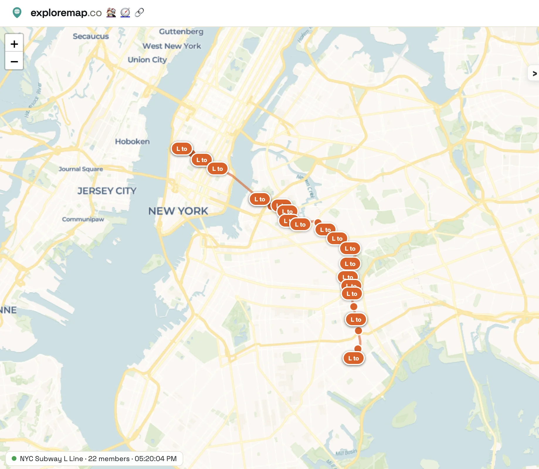
Both links open read-only web pages. Anyone can view the shared maps without editing the trips. Keep a page open to watch its train markers update as new data arrives; the information available depends on the transit feed.