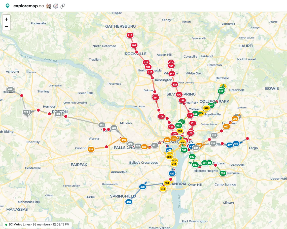
Washington's Metro is really six railways sharing one core: the Red, Orange, Blue, Silver, Green and Yellow lines overlap through downtown, split apart in the suburbs, and trade riders at stations like Metro Center, L'Enfant Plaza and Gallery Place. A static map shows you the tangle. A live map shows you what is running on it right now.
The DC Metro Lines map, shared in the ExploreMap community, puts the lines together on a single page. Live map feeds place train markers along the routes and stations, so you can see trains moving through the shared downtown tunnels and out toward the ends of each line. Hover over a marker to see its destination and whether it is at a station or between stations, and check the feed's last update time on the map. Some positions are estimates based on transit data rather than GPS locations, and what appears depends on the transit feed.
Looking for just one line? The DC Metro Red Line map follows the Red Line on its own, and the NYC Subway L Line shows the same idea in another city. See Watch Metro Trains Live on ExploreMap for how live feeds work.
The link opens a read-only web page. Anyone can view the shared map without editing the trip. Keep the page open to watch the train markers update as new data arrives.