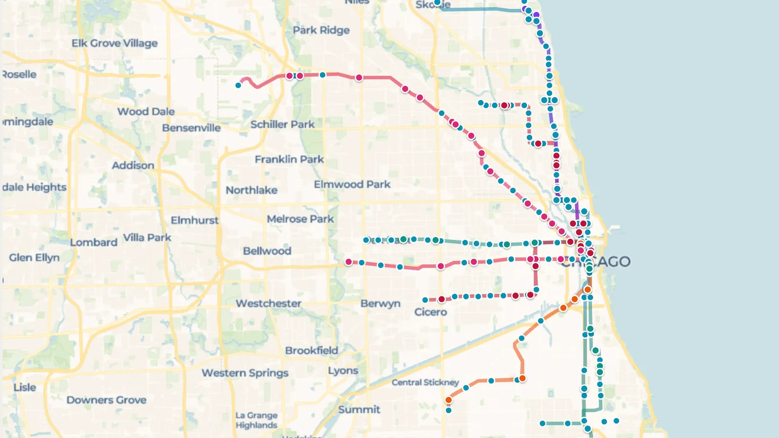
Chicago's 'L' is one of the oldest rapid transit systems in the United States. Eight color-coded lines fan out from the elevated Loop downtown: the Red Line runs north–south through the city, the Blue Line reaches O'Hare Airport, the Orange Line goes to Midway, and the Brown, Green, Pink, Purple and Yellow lines cover the North Side, the West Side, the South Side and the suburbs of Evanston and Skokie. Together they serve more than 140 stations.
The Chicago CTA Lines map, shared in the ExploreMap community, puts all eight lines and their stations on one page. Each line is drawn in its own color, and a live map feed places train markers on the tracks. Zoom in on the Loop to watch trains from several lines share the elevated tracks around downtown, or zoom out to follow the Blue Line out to O'Hare and the Red Line from Howard to 95th/Dan Ryan.
Hover over a marker to see its line and where it's headed. The map refreshes about every 30 seconds, and the feed's last update time is shown on the map. Train positions come from CTA's real-time train data, so a marker can lag a little behind the actual train, and if the feed is briefly unavailable the map keeps showing the last good snapshot until it recovers. For official arrival times and service alerts, check CTA.
Looking for another network? The DC Metro Lines , SF Bay Lines and Amtrak Lines maps show trains the same way, and Watch Metro Trains Live on ExploreMap explains how live feeds work.
The link opens a read-only web page. Anyone can view the shared map without editing the trip. Keep the page open to watch the train markers update as new data arrives.