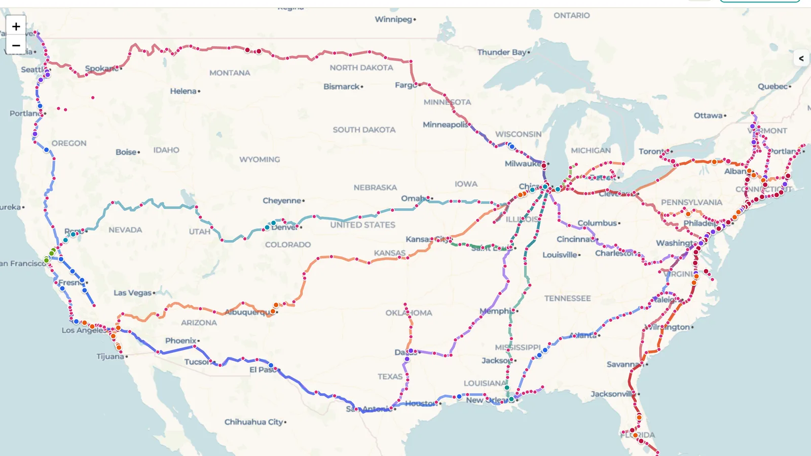
Amtrak is the only passenger railroad that covers the whole United States. Its long-distance trains cross the Great Plains and the Rockies, the Northeast Corridor links Boston, New York and Washington, and shorter regional routes fill in the coasts, the Midwest and the South. Each route has its own timetable, so it's hard to see the network as a whole.
The Amtrak Lines map, shared in the ExploreMap community, puts it all on one page. Every route is drawn in its own color, and a live map feed places train markers along the tracks. Zoom out to follow a long-distance route from coast to coast, or zoom in on Chicago, where many routes meet, or on the Northeast to watch trains run between the big cities.
Hover over a marker to see which train it is and where it's headed. The map refreshes about every 30 seconds, and the feed's last update time is shown on the map. Positions come from a third-party Amtrak tracking feed, so a train can lag behind its real position, and if the feed is briefly unavailable the map keeps showing the last good snapshot until it recovers. Don't rely on the map for connections or pickups; check Amtrak for official status.
Looking for another network? The DC Metro Lines and SF Bay Lines maps show city transit the same way, and Watch Metro Trains Live on ExploreMap explains how live feeds work.
The link opens a read-only web page. Anyone can view the shared map without editing the trip. Keep the page open to watch the train markers update as new data arrives.