Dalian is a port city in Liaoning Province, in northeast China. It sits at the southern end of the Liaodong Peninsula, where the Yellow Sea meets the Bohai Sea, and is known for its harbor, its coastline and its hilly streets.
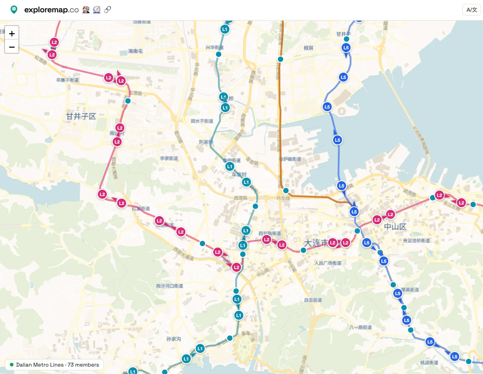
The Dalian Lines map, shared in the ExploreMap community, shows Dalian's metro on one page. Line 1 runs north to south, Line 2 runs from Ganjingzi in the west through the city center and out to the east, and Line 5 follows Dalian Bay. They cross near Zhongshan District and People's Square.
The trains on this map are simulated from the train timetable. They are not real-time positions, so don't use the map to plan a trip or time a connection. This is different from the DC Metro Lines and SF Bay Lines maps, which use live data.
Each marker is labeled with its line (L1, L2 or L5) and colored to match. Zoom in on the city center to see where the lines meet, or zoom out to follow one line from end to end.